|
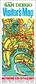
San Diego Visitor's Map
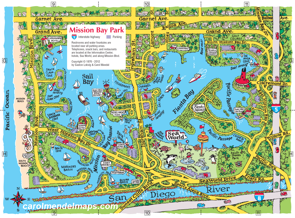
The Mission Bay Park map is one of four maps shown on the reverse side of the San Diego Visitor's Map. In the printed paper version of the map, the size of the Mission Bay Park map is approximately 9" x 6".
The main side of the San Diego Visitor's Map measures 24" x 18 1/2", and covers all of San Diego County. It's a pictorial map featuring main roads and visitor attractions. In addition to the map of Mission Bay Park, the reverse side includes maps of Downtown San Diego, Balboa Park, and Old Town State Park, as well as an index.
The map costs $5. This includes everything -- shipping, handling, and (where applicable) sales taxes, as long as it is sent to a U.S address. To order online a single copy of this map mailed to a U.S. address, click here. Otherwise, to order by check or money order, to get quantity discounts for ordering multiple copies, or to order a variety of different titles, click here.
|

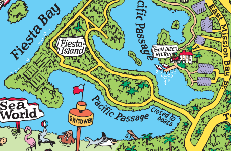
detail from the Mission Bay Park map
Note: The printed map is sharper than shows up at full size on a computer screen. The enlarged image above gives a better indication of the clarity of the printed map. |


