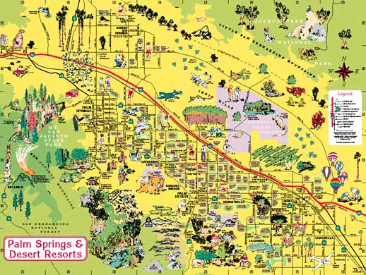
The main side of the map measures 24" wide x 18" high. It features the entire resort area, which extends along interstate 10 from the San Gorgonio Pass in the west to the fields of the Coachella valley on the east. Dozens of illustrations highlight the points of interest, and each golf course is shown.Click to see more pictures from the main side of the map:
Click to go to the home page, which shows all maps in this series.