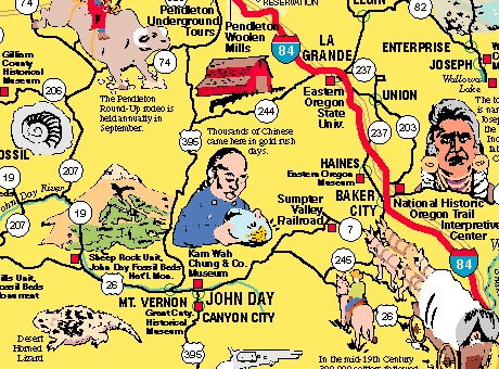
The main map of Oregon covers only the western part of the state. So in addition to the main map, there is a 12" by 9" map of the entire state. This section from that map shows in area in the northeast part of Oregon.Click to see pictures from the main side of the map:
Click to go to the home page, which shows all maps in this series.