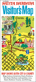
These maps were originally part of the San Francisco Bay Area Visitor’s Map, a 24” x 18” pictorial map printed on glossy paper. Folded to be 4” x 9”, it was sold at gift shops, museums, convenience stores, and visitor attractions, typically alongside standard street maps.
The advent of GPS and smart phones ended the heyday of folded paper maps. Today, illustrated maps are still popular on a wide variety of products because they are colorful, decorative, and informative.
Clicking or tapping on one of the maps shown below lets you see an enlarged version of it, and to find how to buy products (such as posters, pillows, and trays) that feature updated versions of the map.
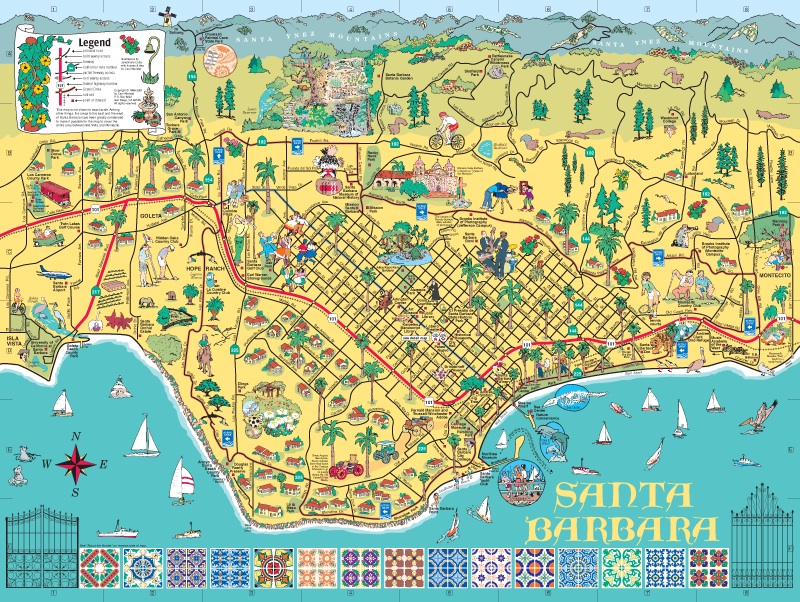
Santa Barbara metro area
The map of the Santa Barbara metropolitan area covers the area from Isla Vista on the west to Montecito on the east, and from the Santa Ynez mountains on the north to the Pacific Ocean on the south. It features main roads, cities, communities, parks, visitor attractions, and points of interest.
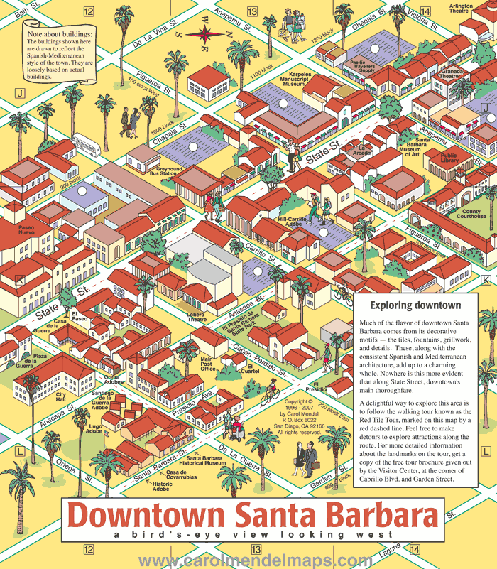
Downtown Santa Barbara
The map of downtown Santa Barbara shows the heart of the downtown area.
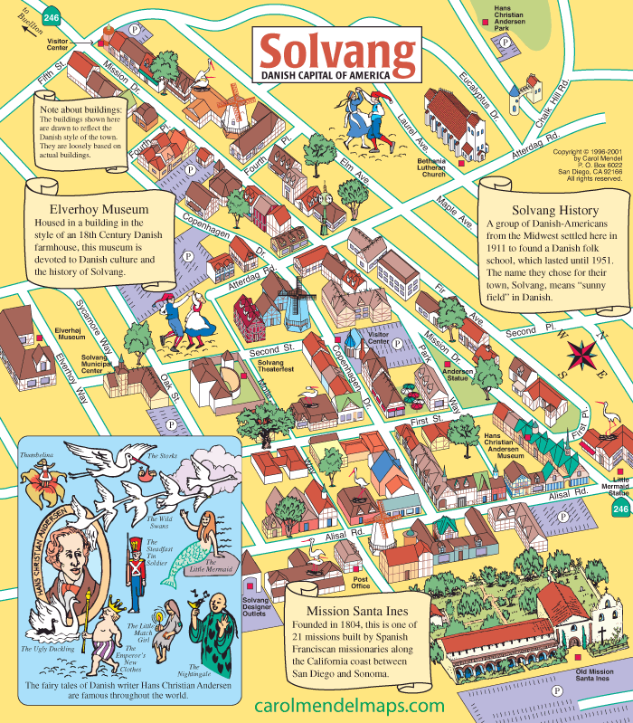
Solvang
This map covers the Danish-American community of Solvang, a city about an hour's drive northwest of Santa Barbara.