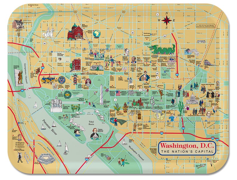
Carol Mendel's
Washington D.C. map

pictorial, illustrated map of Washington DC

This map of Washington D.C. features the area around the National Mall, and is surrounded by a border illustrating U.S. history. Each historical event featured in the border is linked with a visitor attraction in the D.C. area.

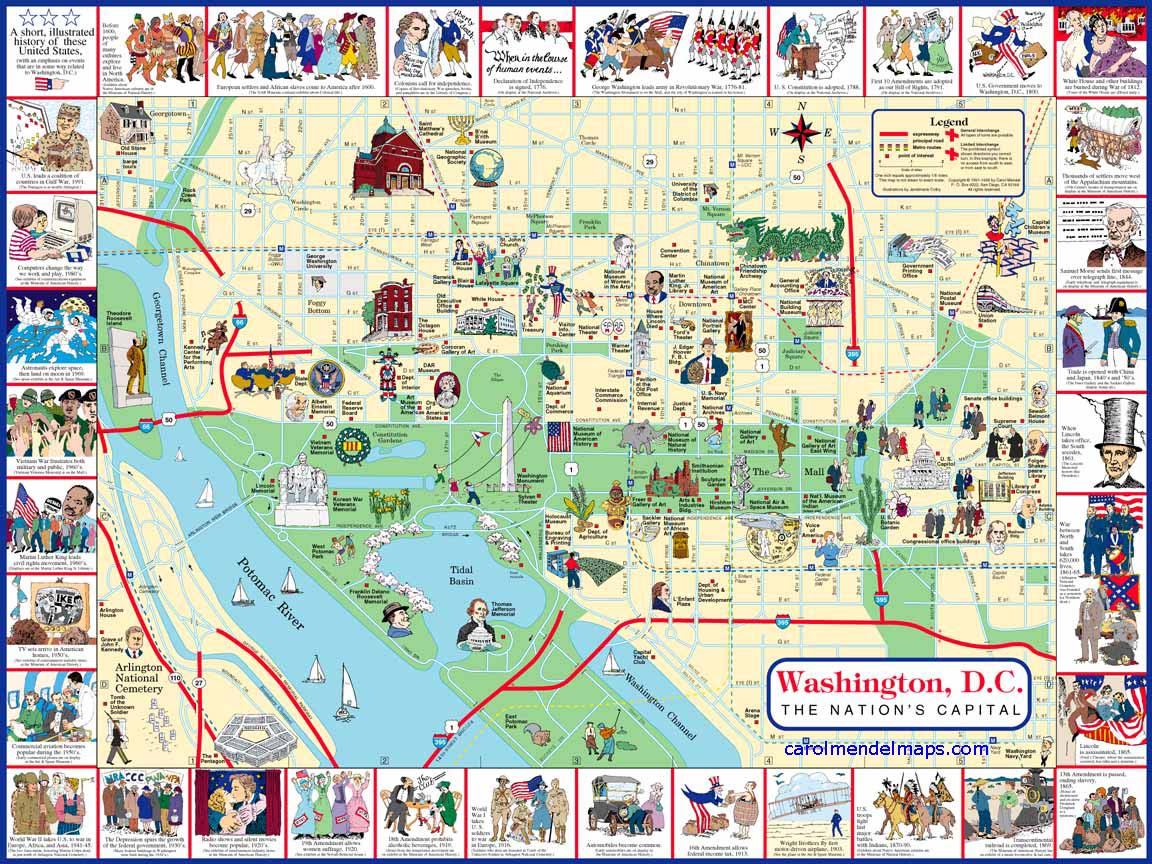
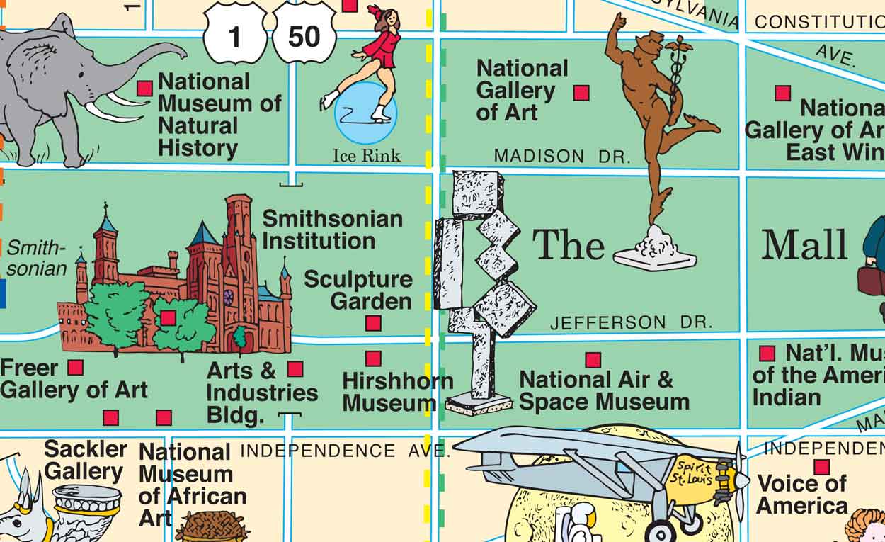
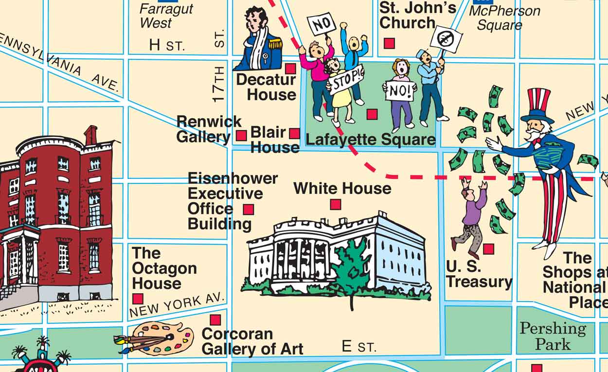
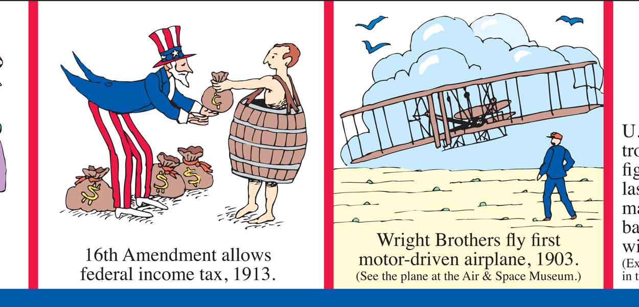
Four enlarged sections of the map are shown below.


Enlarged sections of the map

section of the pictorial Washington DC map around the National Mall

This section of the map shows the area around the National Mall. Many of the Smithsonian Institution museums are here.


section of the illustrated Washington DC map near the White House

This section of the map shows the area around the White House.


section from top border of the Washington DC Visitor's Map

This section of the top border features two events in the early history of our nation -- the adoption of the Constitution and the Bill of Rights.


section from bottom border of the Washington DC Visitor's Map

This section of the lower border features two events in the early 20th century -- the Wright Brothers' flight and the beginning of the federal income tax.


A wooden tray based on this map

tray based on Washington DC map


This map is available on Amazon or Etsy as a wooden serving tray. [DETAILS]


Downtown maps of other cities
The illustrated maps on this website include many downtown maps. Here's the full list:
Los Angeles

Pasadena

Portland

Sacramento

Salt Lake City
San Diego

San Francisco

Santa Barbara

Solvang

Washington DC


Home Privacy Contact About Sitemap

Copyright © by Carol Mendel